Farm estate with 6920 ha, for agricultural use, with irrigation project
Details
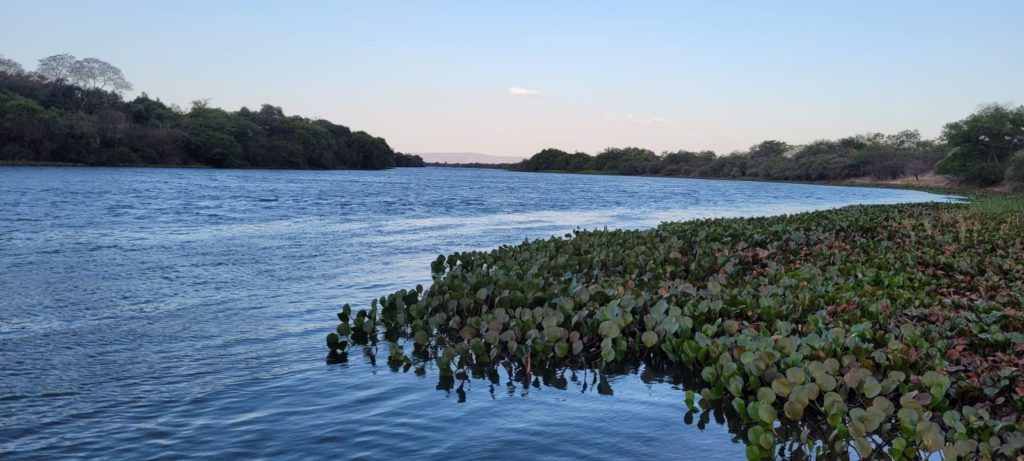
Farm irrigation project: farm in Bahia, 6920 ha, near the Rio Grande river, suitable for cattle and crops, complete documentation available
General Description and Features:
For sale is a farm with 6920 ha total area, also called the “Fazenda Fumaça”, in the municipality of Barra, in Bahia.
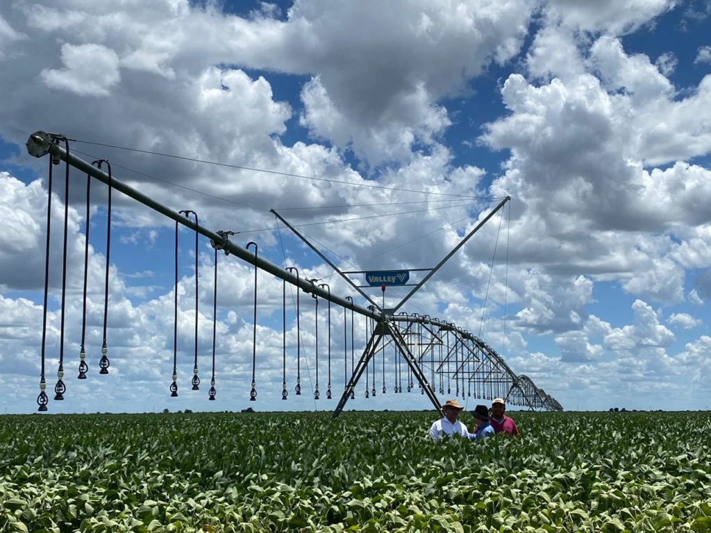
From this total area apprx 23.3%, that is 1614.8 hectares, are destined for legal reserve and permanent protection area (APP) and 5.000 hectares are suitable for agricultural activity, of which 3,800 hectares are suitable for use of irrigation (farm irrigation project) by central pivots ( 54.9% of the total area).
Location:
The farm is located on the banks of the Rio Grande, the main tributary of the São Francisco River, 14 km west of the BA-161, accessible by a good quality dirt road. The distance from the farm to the capital of the State of Bahia, Salvador, is 810 km, and it is 280 km from Barreiras – BA, considered the regional capital of Matopiba.
Technical Facts and Documentation:
Total area: 6.919,5 hectares
Permanent preservation area: 193,7 hectares (2.8%)
Legal reserve: 1.421, 1hectares (20.5%)
Arable area: 5.000 hectares (72.2%)
Irrigable area: 3.800 hectares (54.9%)
Altitude: 410 m – 450 m
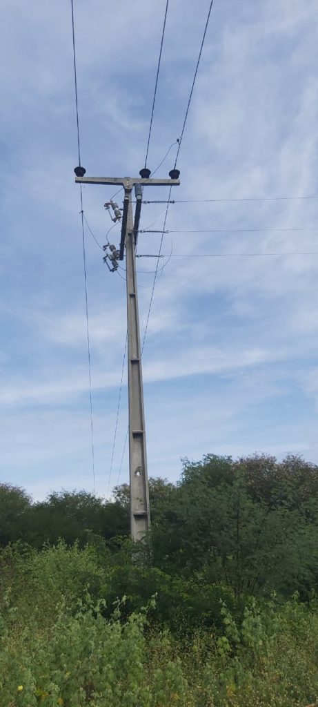
Improvements: Small accomodation structure, kitchen and dining room for 16 people. In addition, it has three-phase power connection for domestic use.
Land use: High effectiveness for irrigation due to water abundance, topography and soil type. Ideal for the development of: Intensive livestock in central pivots, grains in central pivots with 3 annual harvests, fruit growing, sugar cane, etc.
Soil characteristics: Classical Luvisol, with medium texture and clay content ranging from 13% on the river banks to 25% in the highest part.
Executive irrigation project: Prepared by Pivot Drip, Valley concessionaire. Amount budgeted at R$35,000/hectare (EPC full turn key), plus the hybrid solar and diesel power generation system, with full capacity to meet the property’s energy demand.
Average productivity in irrigated areas in the region:
• Soy: 4,800 kg/hectare (80 sc/ha)
• Corn: 13,200 kg/hectare (220 sc/ha)
• Beans: 3,600 kg/hectare (60 sc/ha)
• Cotton: 6,000 kg/hectare (400 @/ha)
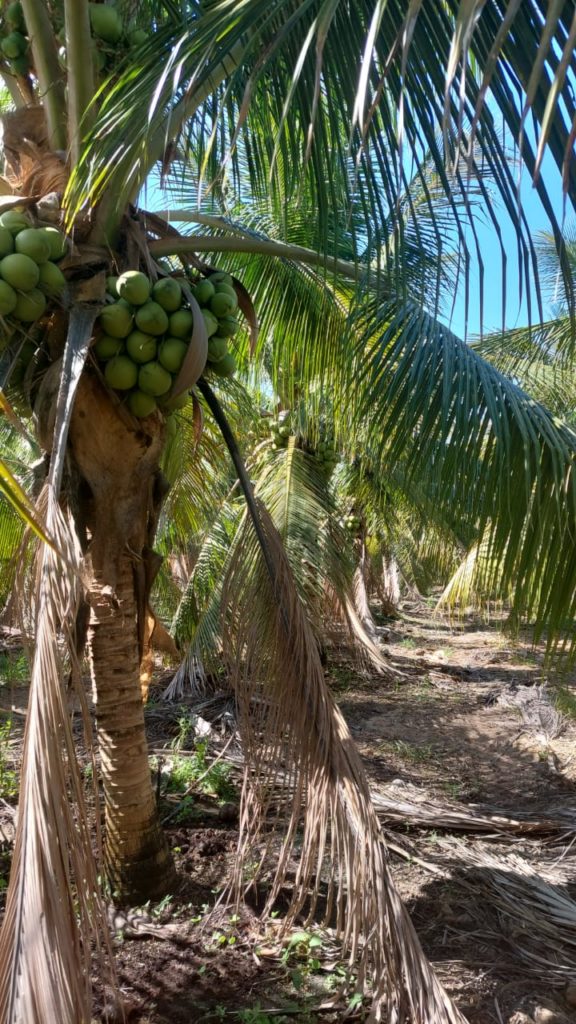
Frequent in the region: Grains, livestock, fruits (coconut, banana, cocoa, etc.) and vegetables
Documentation:
Title and Deed Number: 5,971 and 5,972
CAR: BA-2902708-10A4.87C4.4A65.4D32.B3A2.B425.911D.7D75
CEFIR: 020.001.134037/CEFIR
CCIR/INCRA: 951056733229
Grant: No. 2019.001.007624/INEMA/LIC-07624, Rio Grande Hydrographic Basin, in Rio Grande, at coordinates Lat.11°09’55”S and Long.43°32’44”W, datum Sirgas 2000, of flow 265,579 m3/day, for 21 h/d, for center pivot irrigation purposes, area 3,800 ha, equivalent to 7mm/day.
Plant suppression license: No. 2021.001.000417/INEMA/LIC-00417, for an area of 4,999.9 hectares
Operation License: Agrosilvopastoral Activities – authorization nº 2021.001.009599/APE Authorization by Special Licensing Procedure to carry out irrigated agriculture activities in an area of 3,800.00 ha, Extensive Livestock in an area of 1,199.80 ha
About the Region and Surroundings:
A region considered today as the great national agricultural frontier, Matopiba comprises the Cerrado biome of the states of Maranhão, Tocantins, Piauí and Bahia and accounts for a large part of the Brazilian production of grains and fibers.
The area, until recently considered without a strong agricultural tradition, has attracted attention due to its increased productivity numbers. In the last four years, only the State of Tocantins increased its planted area at a rate of 25 % per year, according to data from the National Supply Company (Conab).
The flat topography, the deep soils and the favorable climate for the cultivation of the main grain and fiber crops enabled the vertiginous growth of the region, which until the end of the 1980s was based heavily on extensive livestock.
The area comprises a total of 337 municipalities and represents a total of around 73 million hectares. There are approximately 324,000 agricultural establishments in the area, 46 conservation units, 35 indigenous lands and 781 land reform settlements, according to a survey by Embrapa’s Strategic Intelligence Group (GITE).
Vegetation and Biome:
Largely Considered as semi-arid, the territory of the municipality of Barra is composed of the Caatinga biome (by 34 %) and of the Cerrado biome (64 %). The farm area is in the transition region of the biomes, with a low volume of vegetation cover, with a low presence of large pot trees.
As a result, the property is outside the soy region, making it an area of public and private interest for development.
Additional Information and References:
- About the Caatinga Biome (characteristics and typology): https://www.sciencedirect.com/topics/earth-and-planetary-sciences/caatinga
- About the Cerrado Biome: https://rainforests.mongabay.com/cerrado/
- Official and Municipal Information about Barra: http://barra.ba.gov.br/
Key Phrase: farm irrigation project
- Property type: Farm or Ranch (Fazenda)
- State: Bahia
- Offer type: For Sale
- City: Barra
- Postal Code and Neighbourhood: 47100-000 Barra
- Lot size: 6920 ha
- Property ID: 27850
- ID: 27850
- Views: 1549


